ERENMAPS
MAPPING ENGINEERING SERVICES
We offer expert solutions for your projects in Thrace and Istanbul with application, parceling, consolidation, and construction site survey services.

ERENMAPS
GIS/BIM APPLICATIONS
With our BIM and GIS applications, we offer innovative and smart solutions that digitalize your projects and increase efficiency.

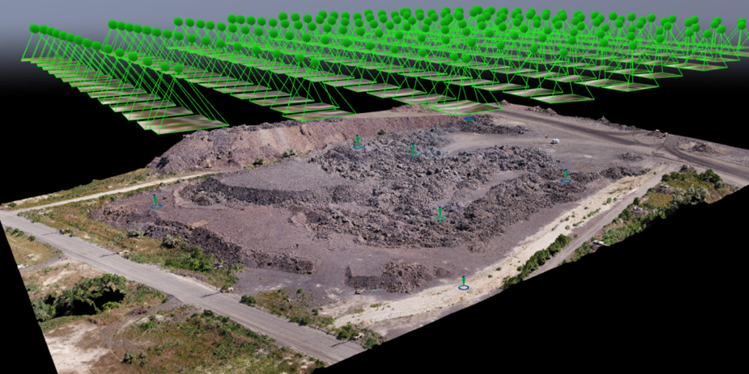
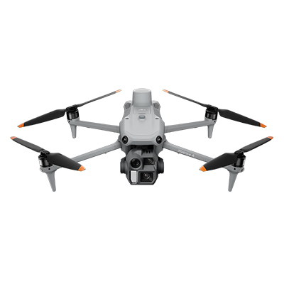
ERENMAPS
DRONE SURVEYS
We offer high-resolution and precise 3D mapping solutions with our AI-powered, new-generation drones and specialized software.